Use Your Own Maps
Maps of any style, from watercolor maps to aerial photographs, may be inserted into the CampusTours AnyMap platform.
Maps of any style, from watercolor maps to aerial photographs, may be inserted into the CampusTours AnyMap platform.
Provide visitors directions to your location and even directions between locations on campus!
Video tours provide the most compelling and comprehensive approach to conveying your institutional character.
All of our products are platform-agnostic creating a seamless experience from desktops to mobile phones.
Virtual reality scenes immerse visitors in your locations, creating an enveloping experience of sight and sound.
Our products let mobile viewers know when things of interest are nearby based on their GPS coordinates.
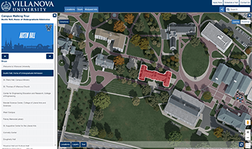
Villanova University implements a custom satellite 3D overhead map and a guided panoramic campus tour.
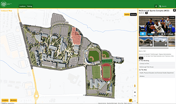
HVCC utilizes the AnyMap service with a custom 3D satellite map, Vimeo videos and panoramic images.

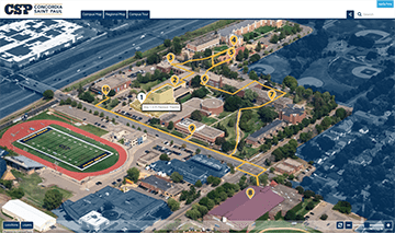
Concordia University Saint Paul implements the AnyMap service with an aerial photo campus map and a video Campus Tour.
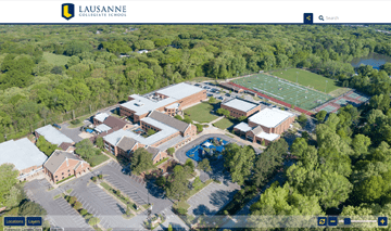
Lausanne Collegiate School pairs the AnyMap service with an aerial campus photograph for an affordable tour experience.
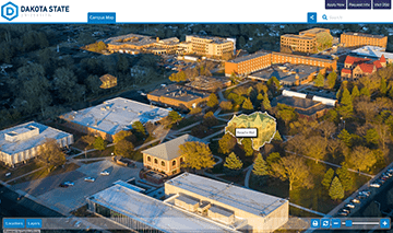
Dakota State University has implemented an interactive AnyMap based on an aerial photograph.
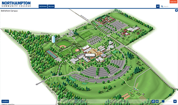
Northampton Community College employs the AnyMap service to maintain maps for both the Bethlehem and Monroe campuses.
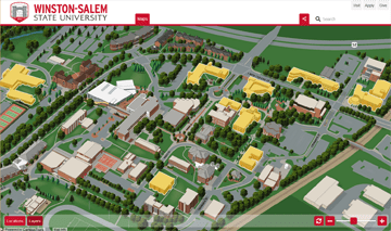
Winston-Salem State University implements the AnyMap service with a 3D Vector map and a GoogleMap regional map.
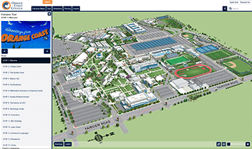
Orange Coast College powers their 3D interactive campus maps and video tours with AnyMap/AnyTour in five languages.
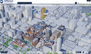
Thomas Jefferson University utilizes the AnyMap service to support two (2) campus maps.
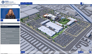
GateWay Community College implements CampusTours AnyMap/AnyTour with multiple campus maps and guided tours.
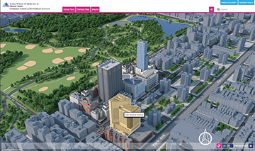
Mount Sinai Medical Center implements CampusTours AnyMap/AnyTour to support a Candied 3D map and Guided Slideshow tour.
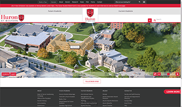
Huron embeds the AnyMap service into their Website template with a custom photorealistic campus map.
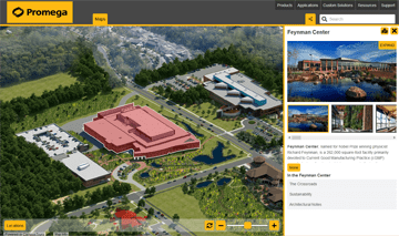
Promega Corporation uses AnyMap to give visitors and employees a compelling map experience.
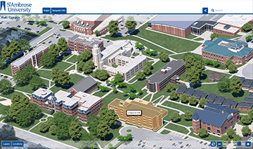
St. Ambrose University implements the AnyMap service with eight (8) photorealistic campus maps and guided video tours.
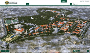
University of Debrecen in Hungary uses AnyMap with 3D photorealistic campus maps and foreign language capability.
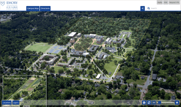
Oxford College of Emory University implements the AnyMap service with a 3D photorealistic campus map.
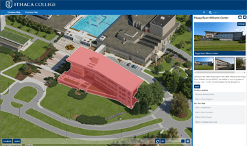
Ithaca College recently implemented the CampusTours AnyMap service with an impressive 3D photorealistic campus map.
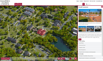
Hampden-Sydney College uses the CampusTours AnyMap service to power their photorealistic interactive campus map.
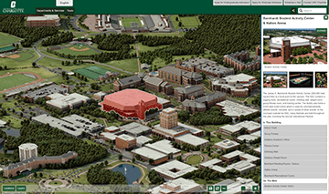
UNC Charlotte uses the CampusTours AnyMap service for their photorealistic map with Spanish language translation.
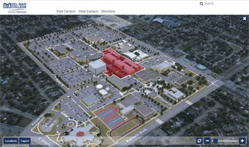
Del Mar College implements the AnyMap service with photorealistic maps of three campuses and a GoogleMap regional map.
Want to know more about our products and services? We would be happy to set up a demo to show you all of the features and benefits CampusTours can offer.
Schedule a Demo